Annapolis Royal Scenery
These pictures were taken in November of 2015. The first day was overcast, the second was clear with cloudy periods.
 |
 |
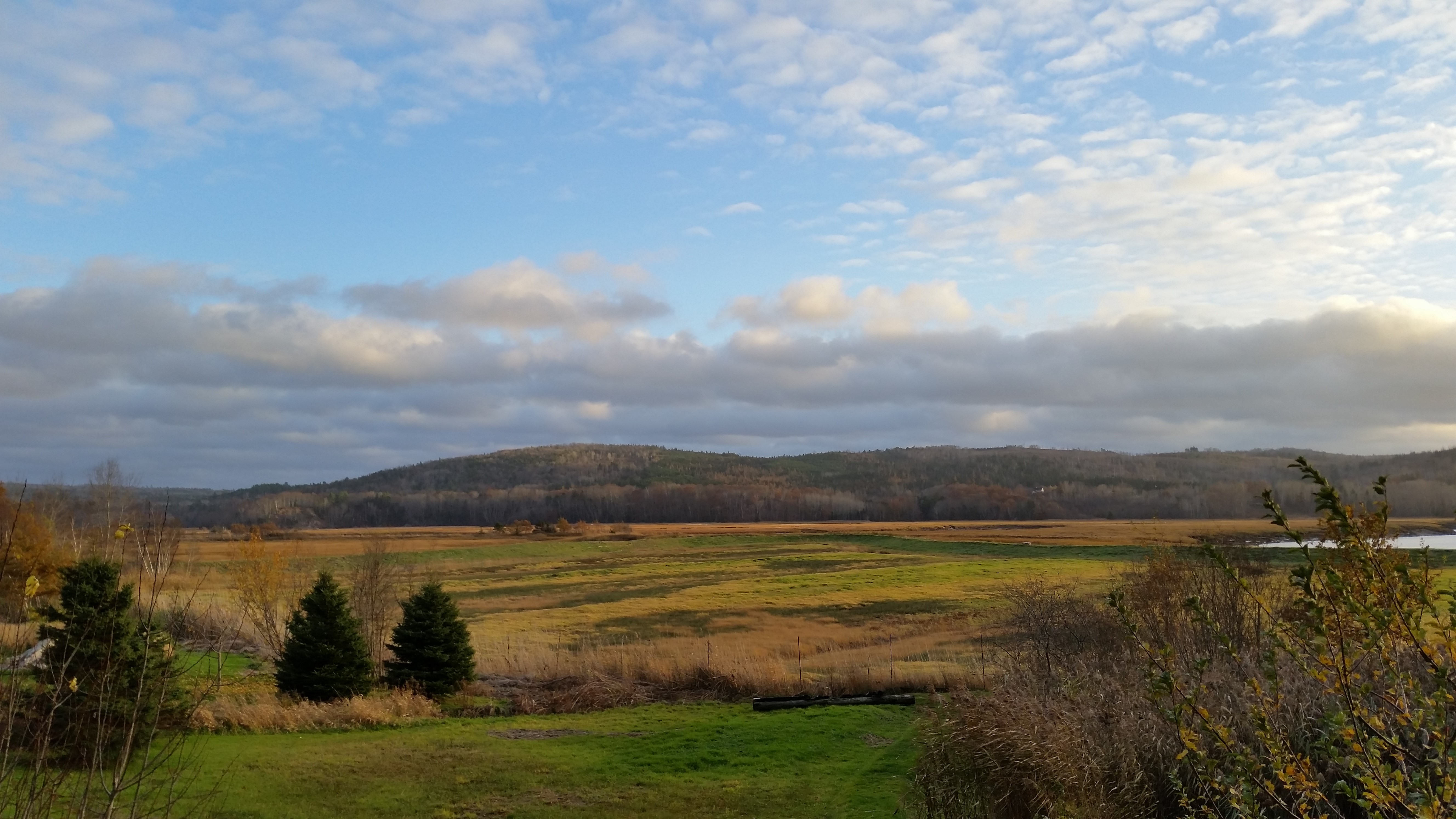
These first two pictures are a reprise of the pictures taken near the mouth of Allain Creek that appear on the Annapolis Royal page.
 |
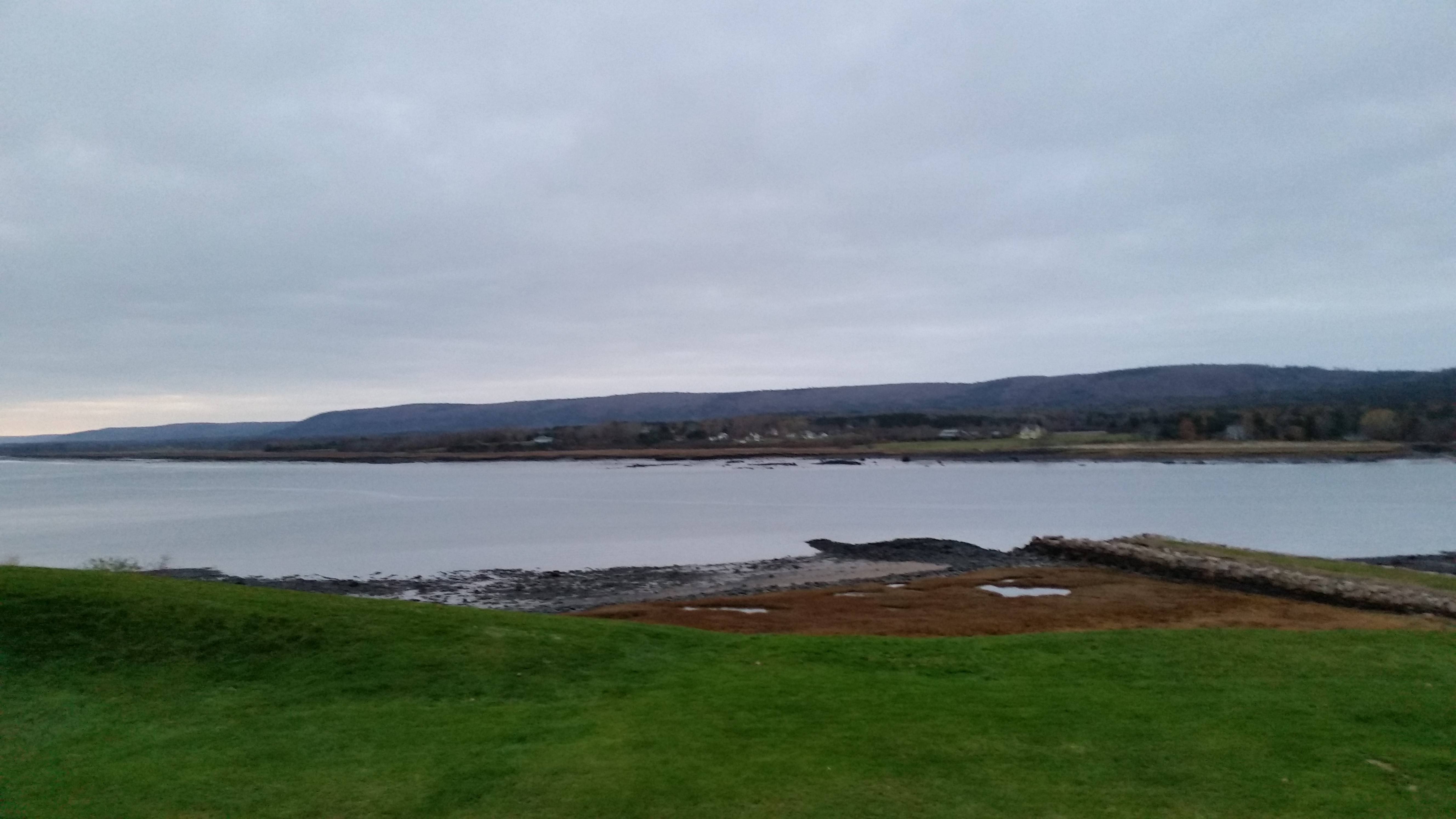
This is the view from Port Anne, looking across, and down, the Annapolis River towards the Bay of Fundy. Bourg's property woul be right-most.
 |
 |
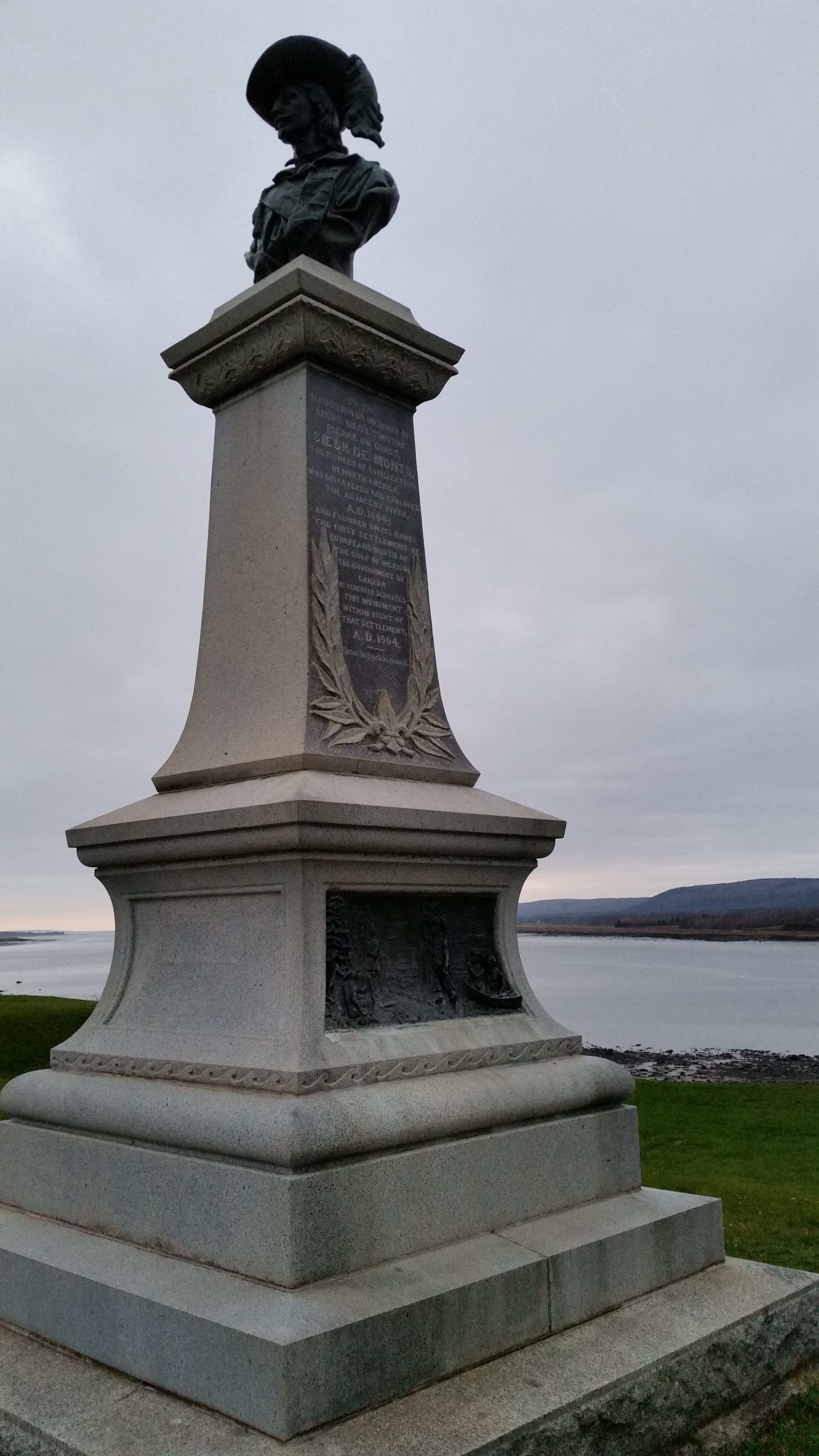 |
This is a monument commemorating Pierre Dugua, Sieur de Mons, early explorer and pioneer, who, in 1604, "founded on (the river's banks) the first settlement of Europeans north of the Gulf of Mexico". The memorial is located just steps from downtown Annapolis Royal.
 |
 |
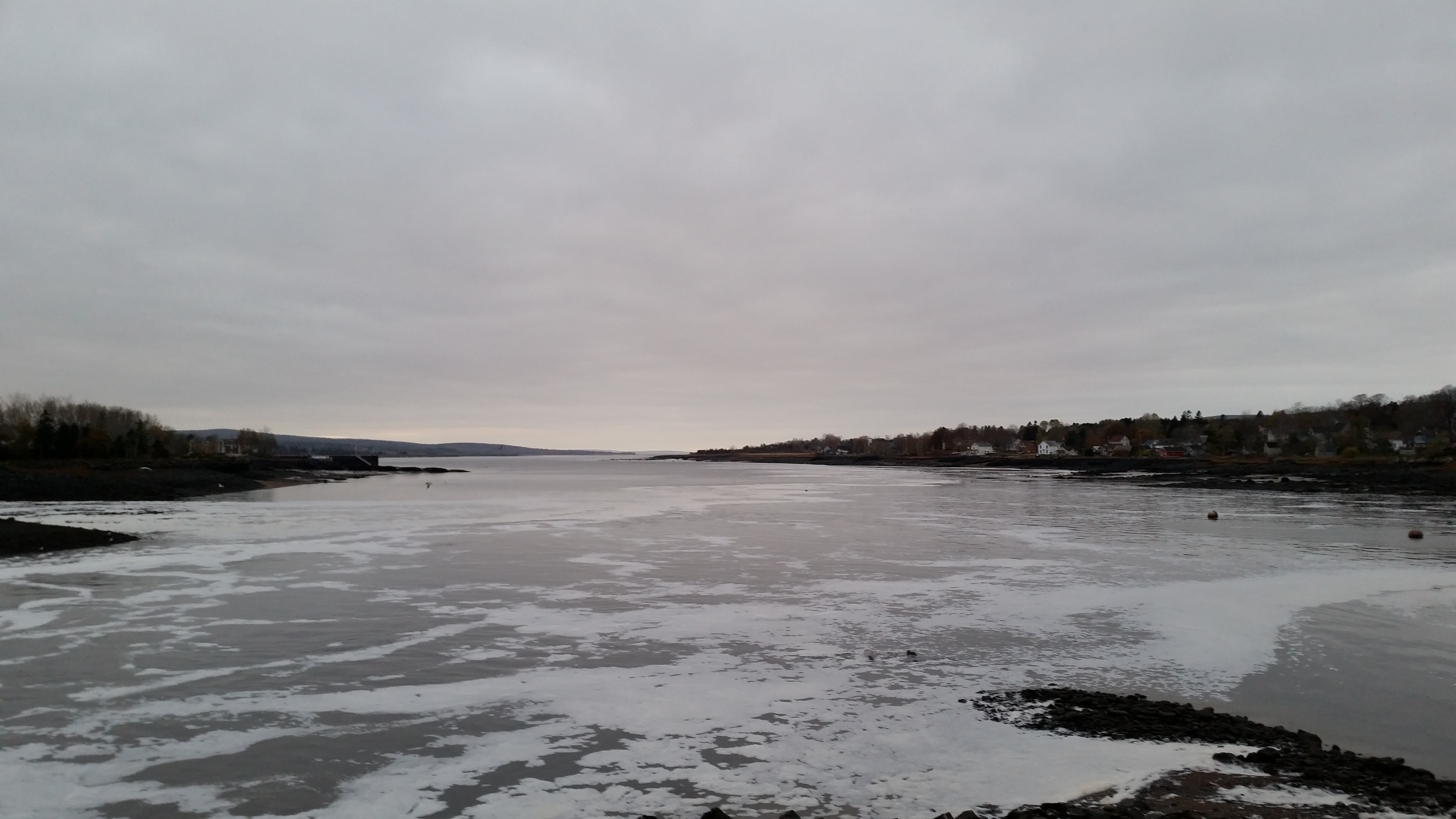
This is a view of the river below Annapolis Royal. The churned water on the left side has passed through on the tidal power station side of Hog Island. The calm water on the right has passed on the other side.
 |
 |
 |
 |
 |
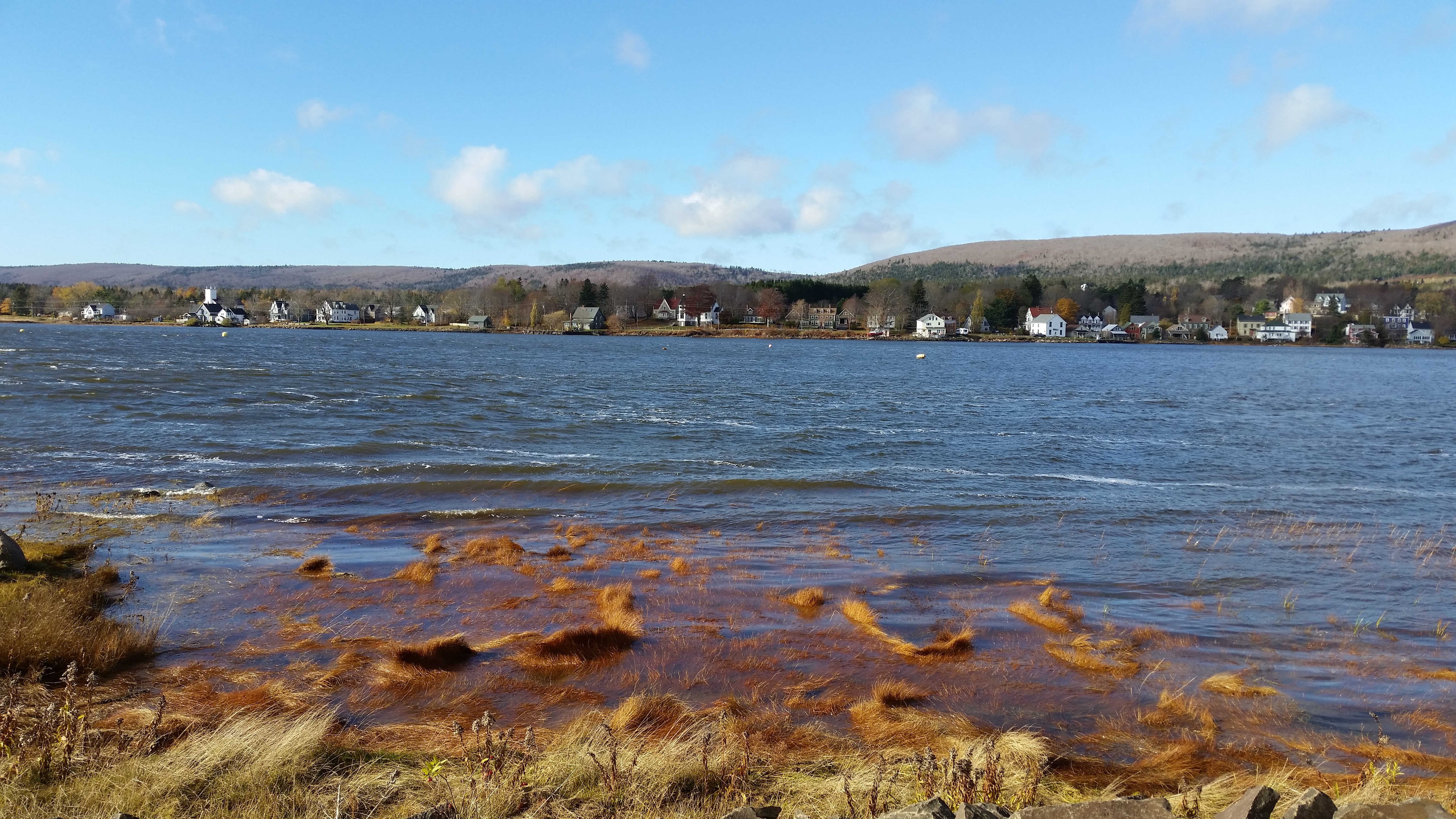 |
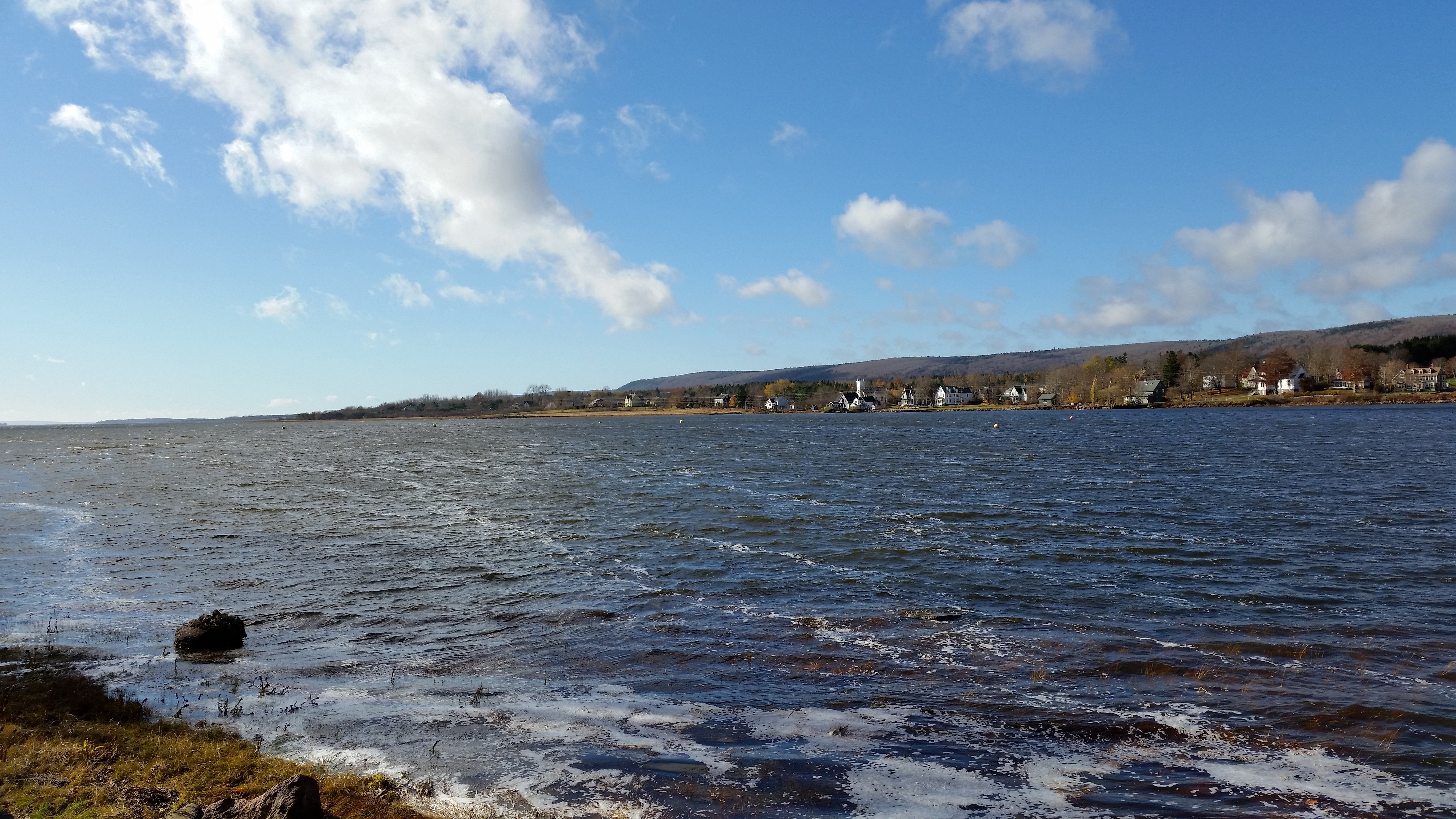
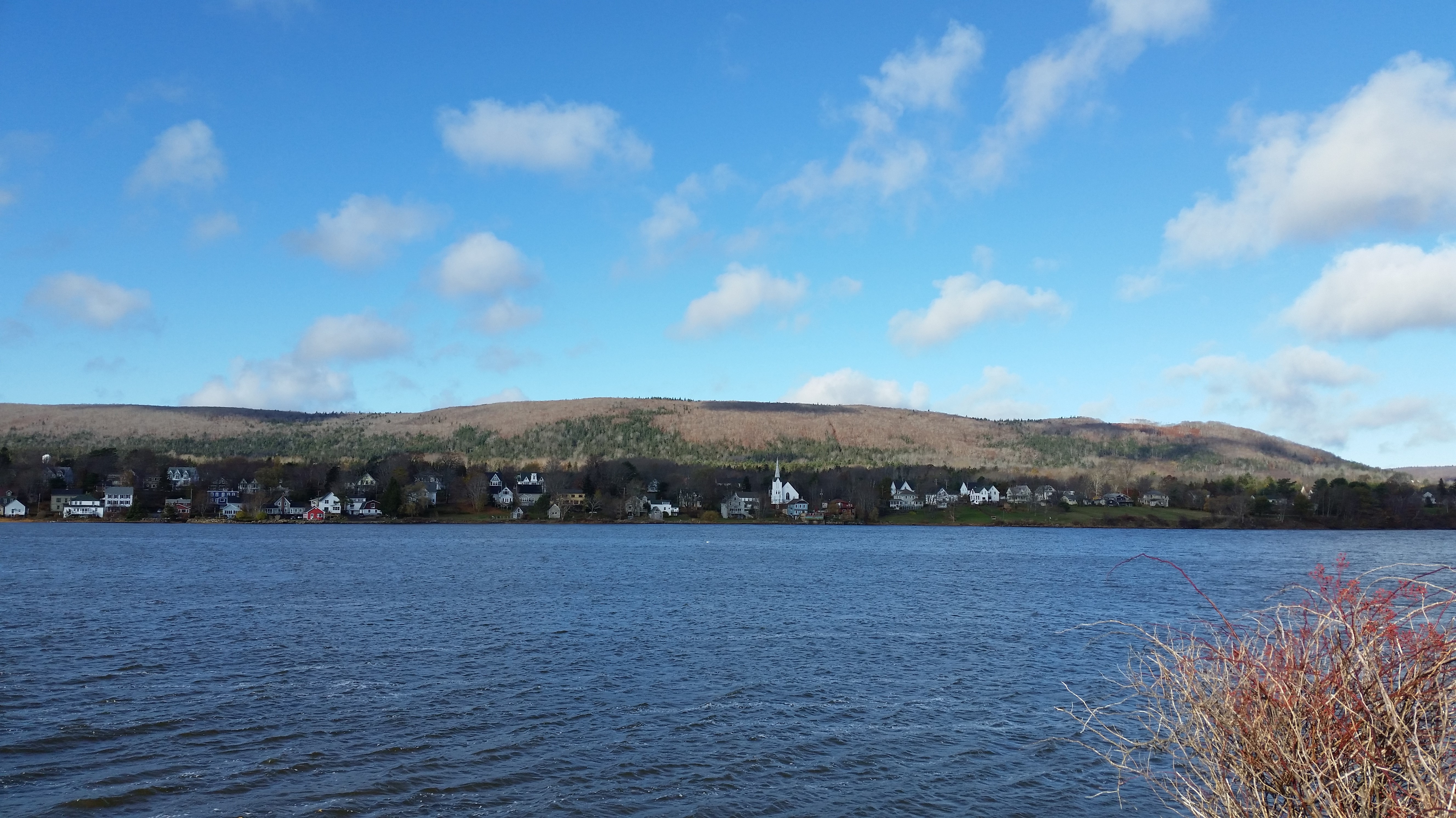
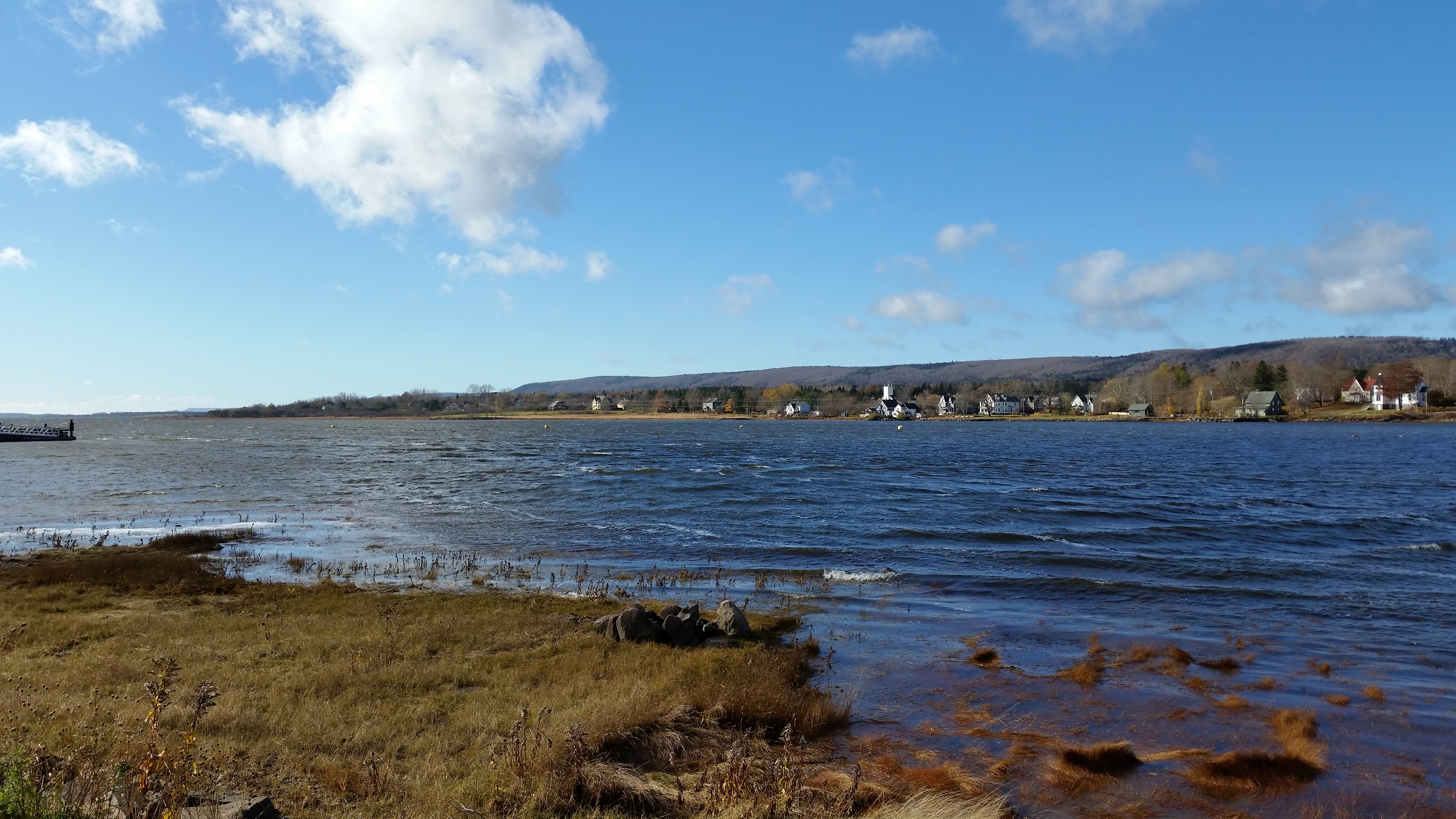
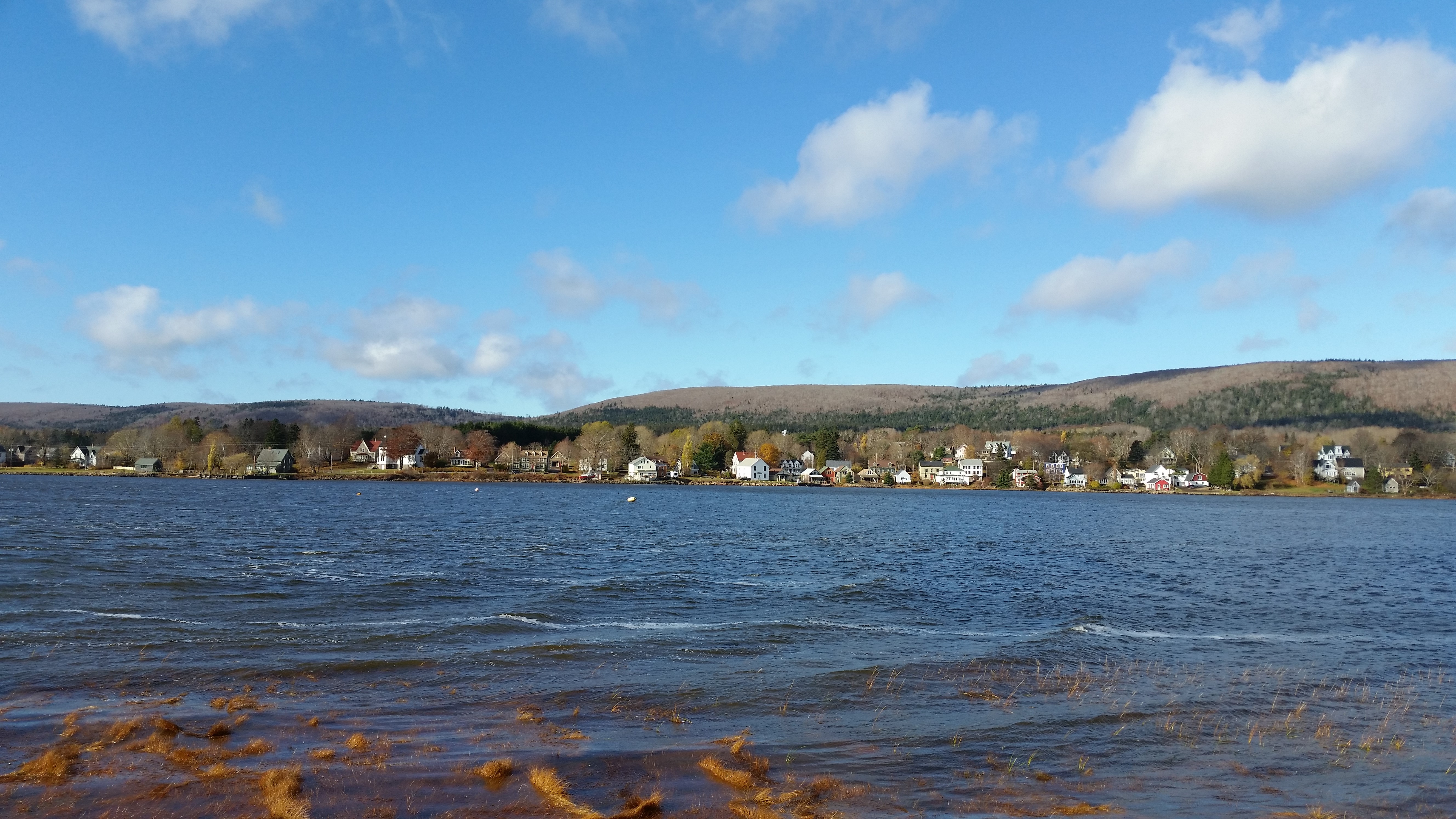
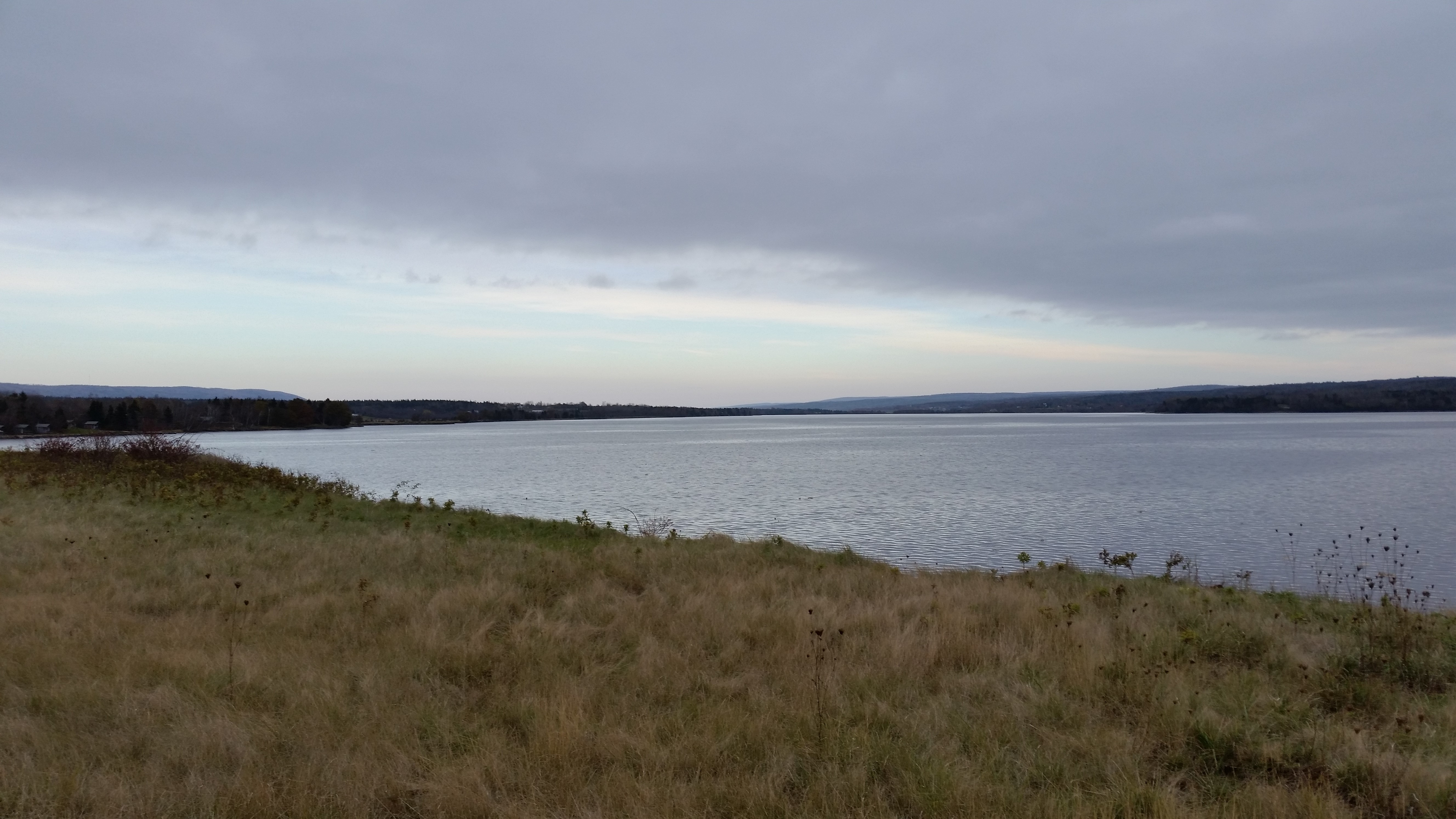
These pictures were taken near downtown Annapolis River looking across the river to the Bourg side. The pictures were taken in something of a progression from west to east, then west to east again while showing a bit of the river's edge to add colour. The grasses along the shore are submerged in tidal water.
 |
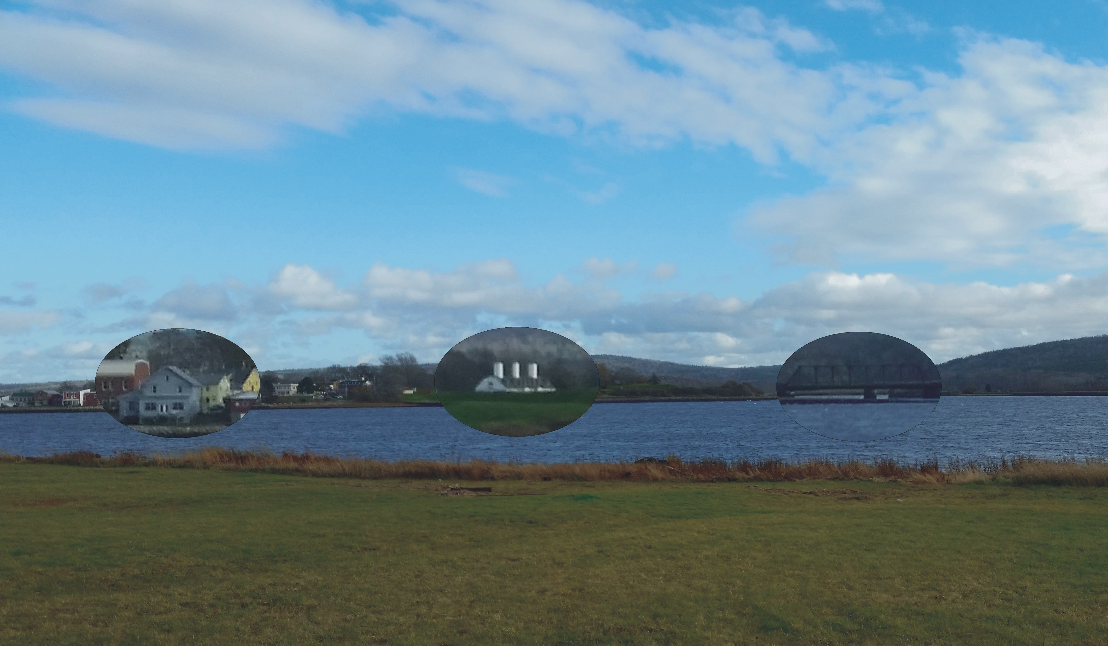 |
This photo was taken from the Bourg side of the Annapolis River. Annapolis Royal is visible on the left, the three chimneys of Fort Anne can be seen towards the middle, and the abandoned railway bridge can be seen spanning the mouth of Allain Creek. The same picture (on the right) has had lenses placed upon it to assist with identification.
 |
 |
 |
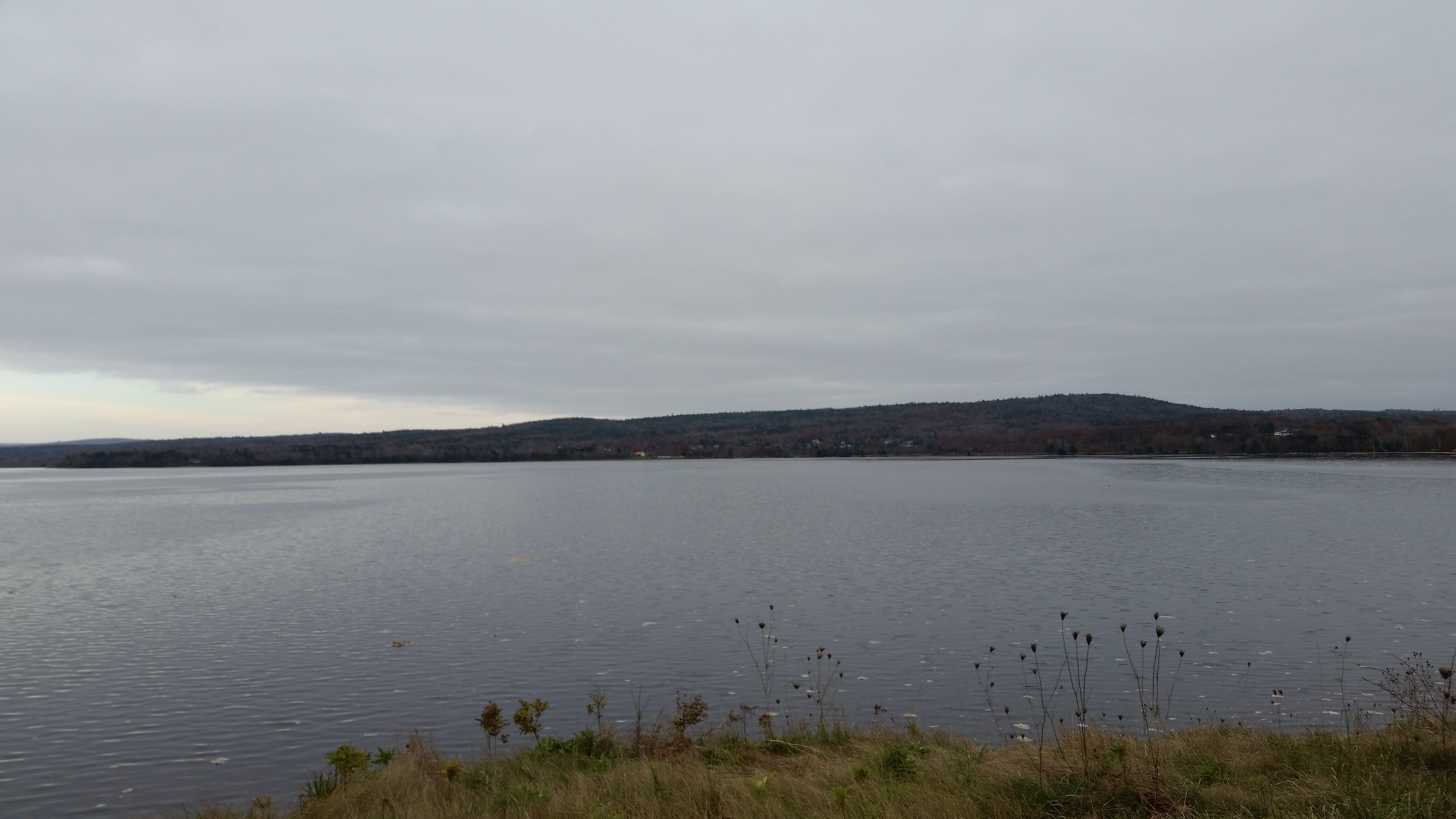
These three pics are from a similar perspective, a little further back from the river's edge.
 |
Click on this image to view a short video of the river as seen from the Bourg side of the river. It is either the wind or the tide or both that are causing the waves to move to the left, to the east, upstream.
 |
 |
 |
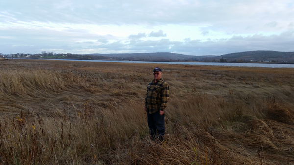 |
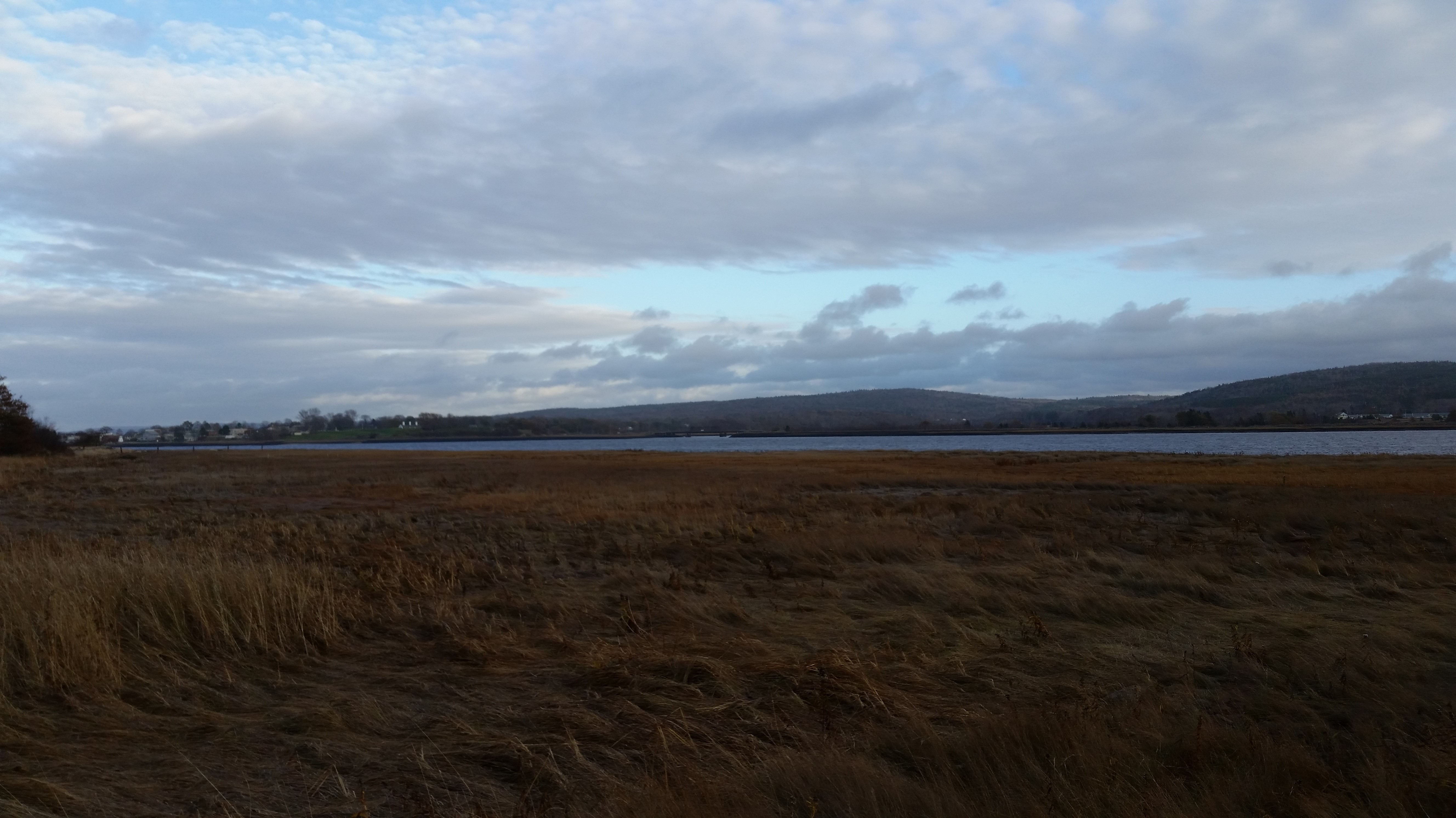
I met with the present-day owners of a portion of the Bourg property and was permitted to walk over a part of it not far from the river. This location is a little further along Granville Road, to the west from the pictures above. Annapolis Royal is visible, at a distance of perhaps a kilometer or so.
 |
The Butlers are very interested and involved with the history of the area. In 2004, for the 400th anniversary of Champlain's colonization effort in the area, Donna Lee and Bill participated in the Acadian World Congress by dressing in home-made period clothing and acting as greeters to the attendees.
 |
There are houses and other buildings between Granville Road and the river for the most part. There are some open spots, though, where one can see the river across cultivated fields and pastures, like this one. It looks like very low clouds, or fog, or perhaps a misty rain in the distance.
 |
 |
The left picture, while only showing the eastern portion of Goat Island, adds some colour to the picture of the island taken the previous day. The tide is in.
 |
 |
These two pictures were taken from Hog Island, looking upriver.
 |
|
N.S. Archives... Links to image source.
|
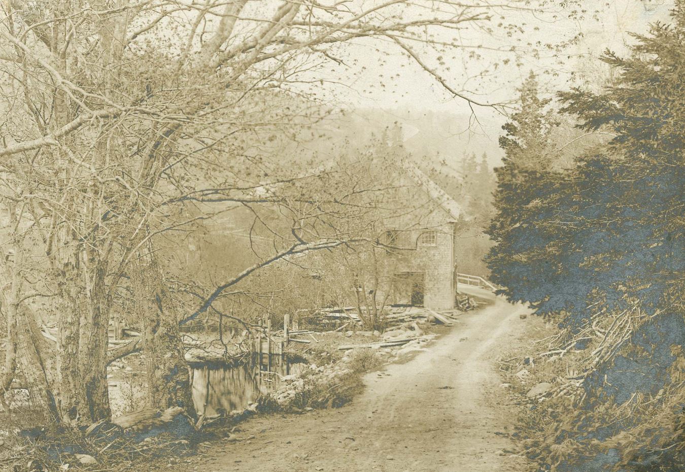
In 1607, Sieur de Poutrincourt erected a labour-saving, water-powered grist mill on the Lequille River (now Allain Creek). Nova Scotia Archives has this picture from c1920 in one of their collections, with this quote: "Site of the first mill in America erected by Poutrincourt, three miles from Annapolis, on the River Lequille." Lequille translates from the French as "keel, of a boat".
 |
 |
Near the site today, there is a power station built in a fashion, and with some of the same materials, of that earlier time. Bilingual plaques with a period millstone stand near the power station. And a plaque about the power station commemorates the facts that this was the first grist mill built in North America, and it was used to grind the first wheat planted and harvested in North America.
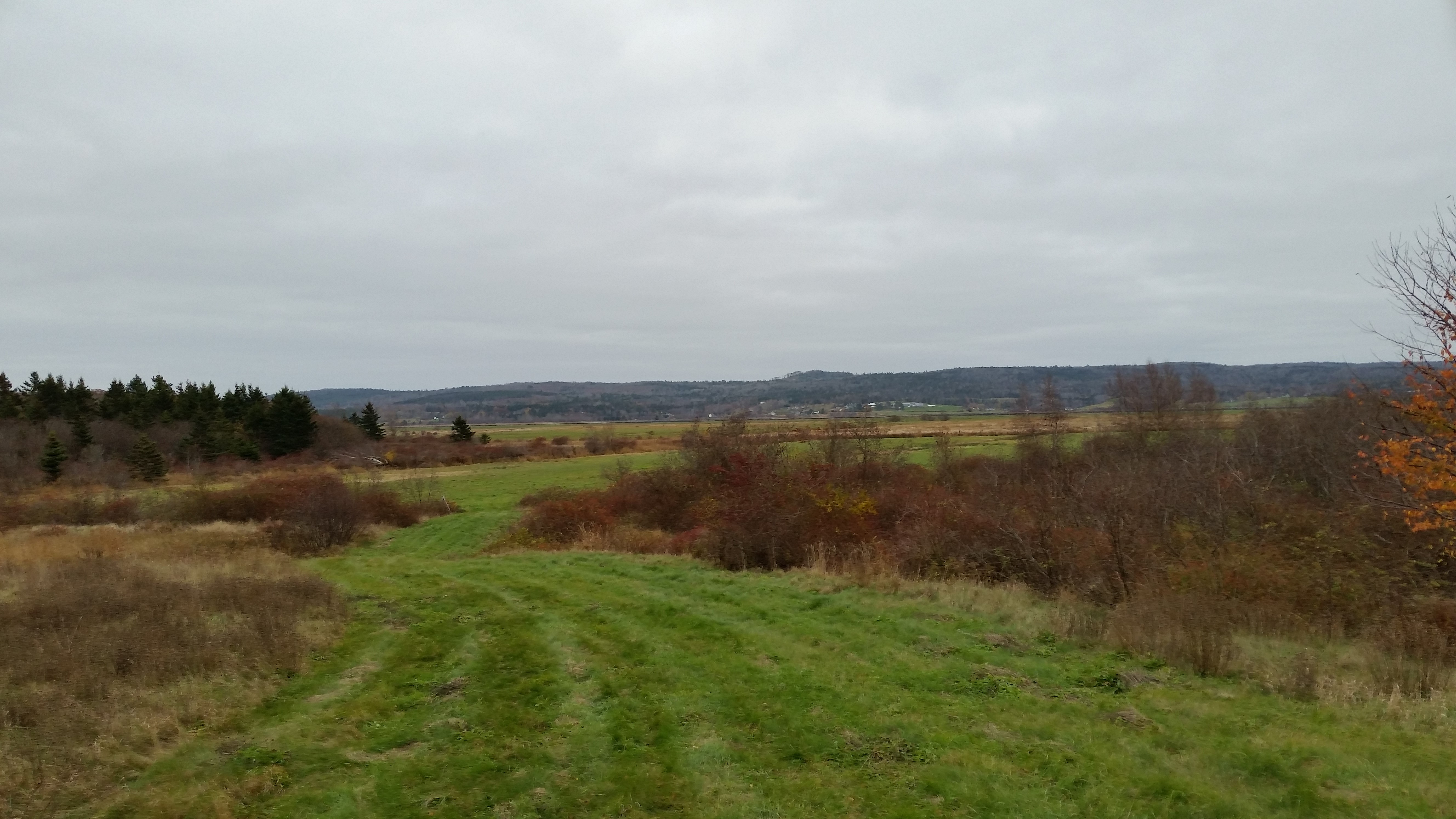 |
This next picture was taken about one hundred yards from the power station, which is on Dugway Road pretty much at the tail end of the "Allain Creek snake". This view looks westward over Allain Creek as it meanders towards the Annapolis River. The highest point on the distant hill is on the south side of the river. Annapolis Royal would be about two kilometerss away, off to the right.
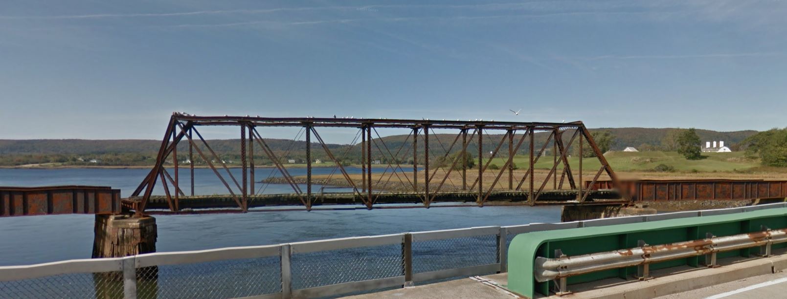 |
This view of the abandoned train bridge is a screen capture from Google Earth. The link when captured was this. That is Fort Anne (three chimneys) to the right, and that is the vicinity of Bourg's village across the river.
This file last modified
: Home :